A Splendid Day

I was going solo on this trip because I was unable to recruit a hiking buddy in crime. Spontaneity is a rare thing these days… but then, to be spontaneous and have fun at the same time one must be prepared. And so, so, so many people aren’t when they set out… I’ll come to what I encountered a little later.

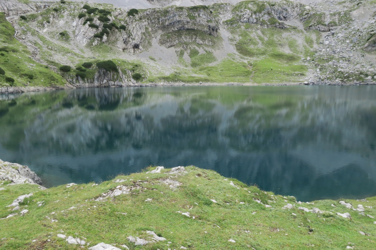
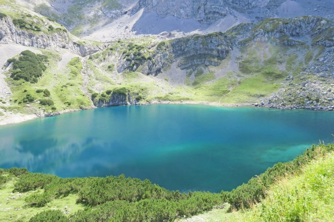
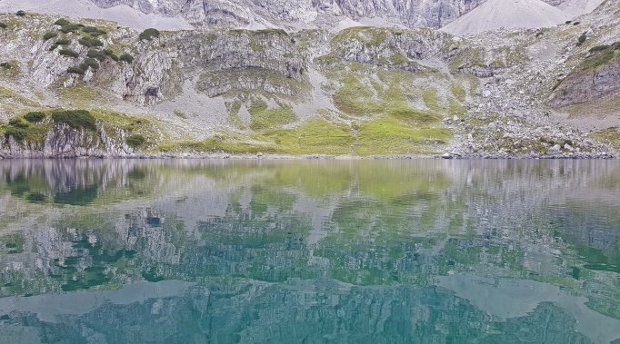
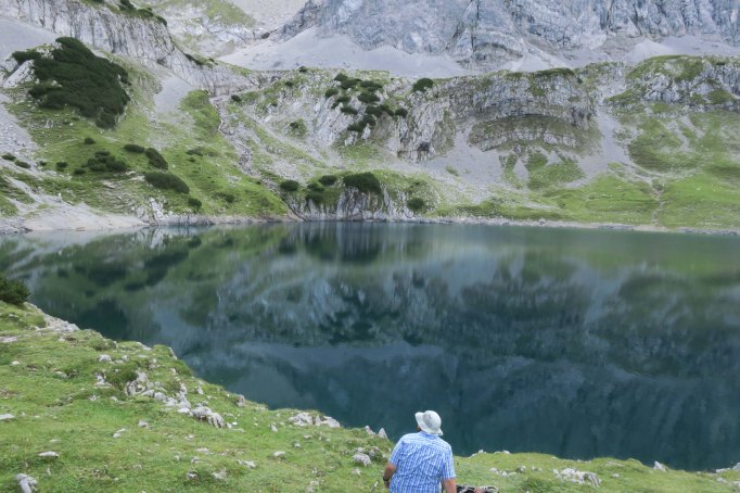
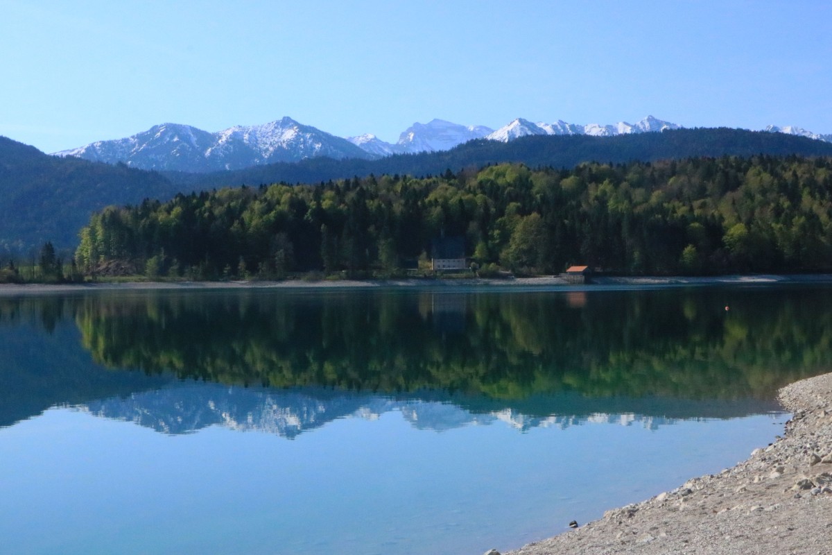
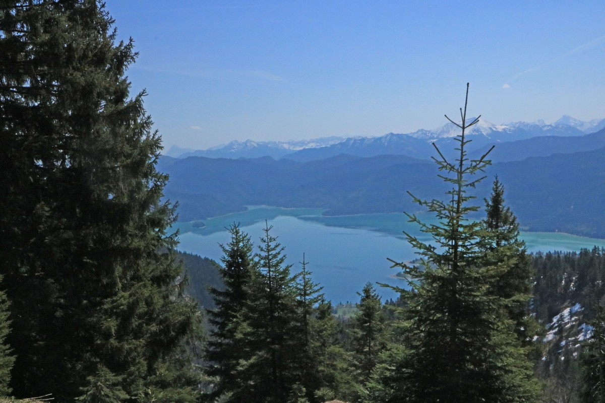
Earlyish in the morning on Saturday, I boarded a train to Kochel and then took a bus to the beautiful Walchensee. This lake is nestled between rolling hills and the towering mountains of the northern Alps. Without a breeze the lake lay calm and still reflecting its surroundings – a sight that makes it very hard to turn away and start a hike. But I had big plans for the day.

IMG_4301
Cool reflection upon arrival at Walchensee

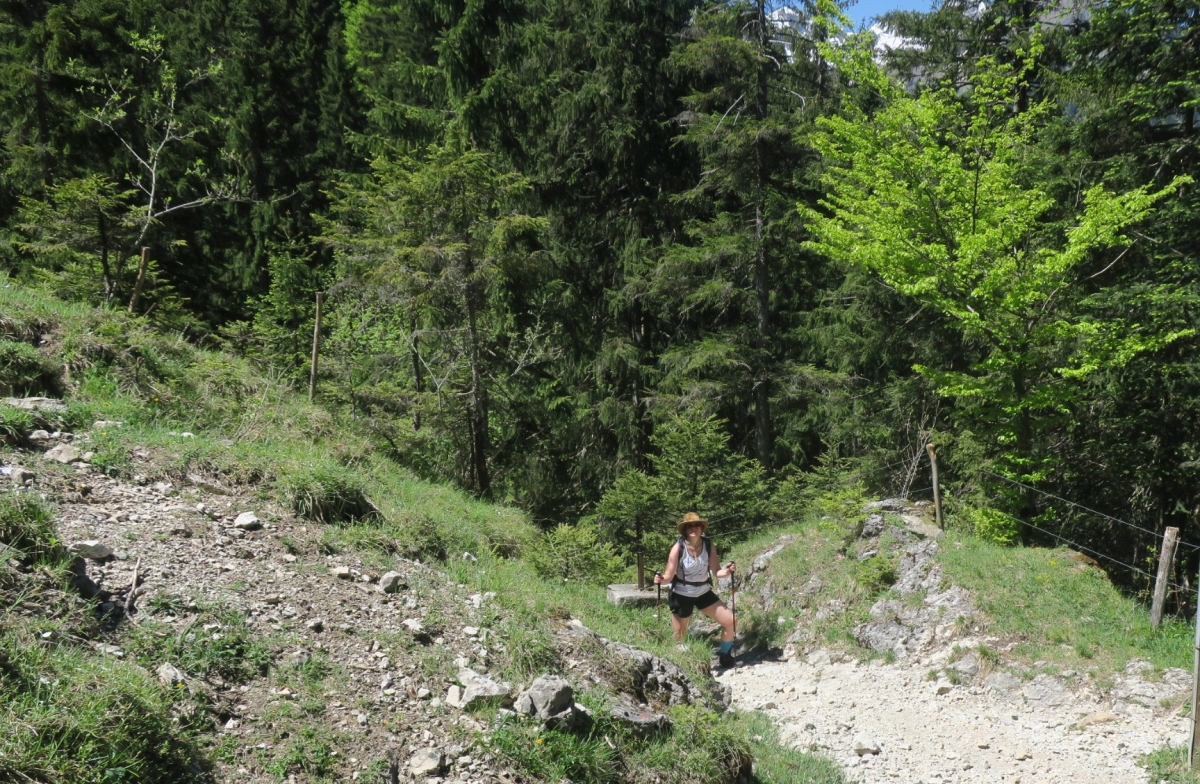
The goal was to do the Herzogstand – Heimgarten loop via a narrow ridge that connects the two peaks. It’s a highly frequented route and usually very busy since there is also a cable car going to the top as well as a big restaurant. I knew from a previous visit that most people flock there so I decided to the loop the other way around. I found the way leading up to peak number one: Heimgarten, towering at nearly 1,800 metres. I started from around 800 metres at the base.

It is a rather long climb but relatively easy. For about 1,5 hours the path winds through classic sub-alpine forest. While on my way up I suddenly heard really loud talking noises. Shortly after passed by three Asian guys having a rest after literally 15 minutes of uphill walking. I said “hi” and moved on…then again, I heard even louder noises. I bumped into another group of six Asians (girls and boys this time) with one lady talking particularly loudly. One of the girls was wearing satin pantaloons and a white satin top to go with that. Wearing shoes that looked like she got them for 5€ at Primark… the others in the group did not look much better. They also stopped to have a break pretty much every 10 minutes and all I thought was that they should turn around immediately and take the cable car up…

I moved on. I was well away and much higher up soon and I could still hear them chatting super loudly further down. It was annoying. For me, one of the beautiful things about hiking is to listen to the sounds of nature. Rushing water, singing birds, airy breezes… of course you can have a conversation but you can do so in moderate tones.

IMG_4316
A perfect mirror of the blue sky

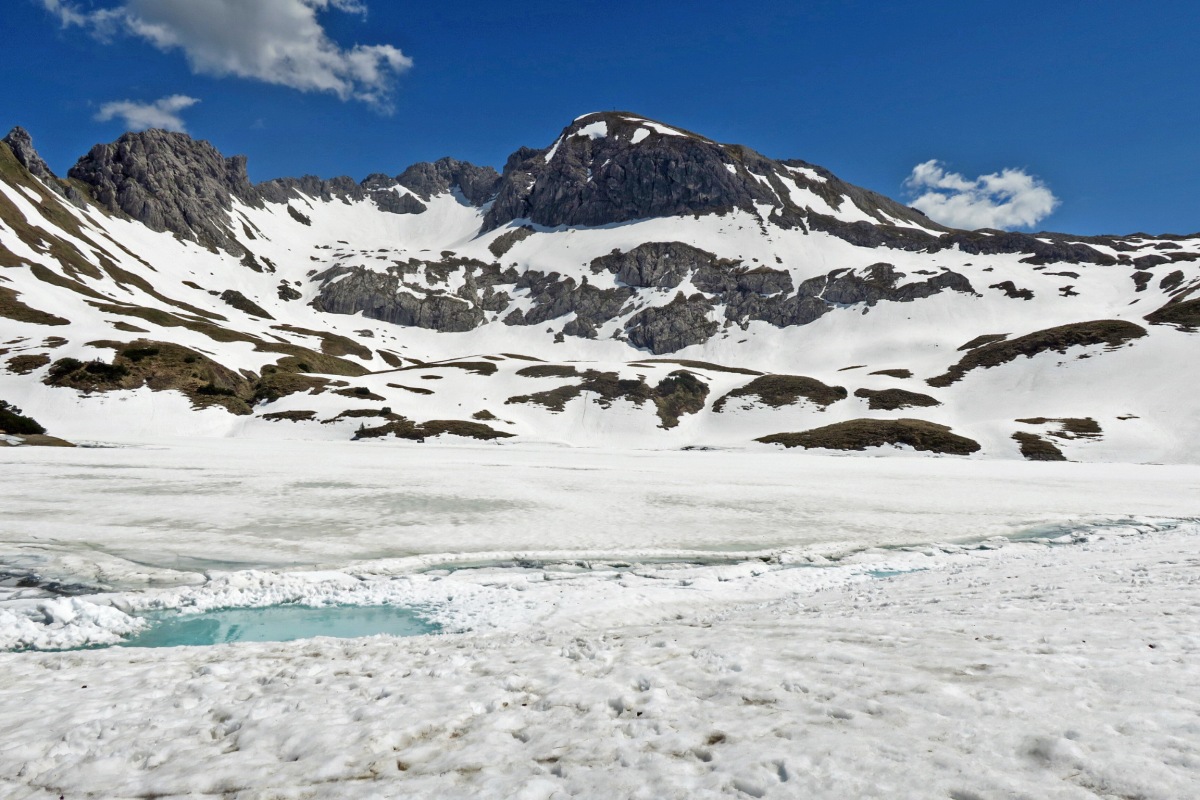
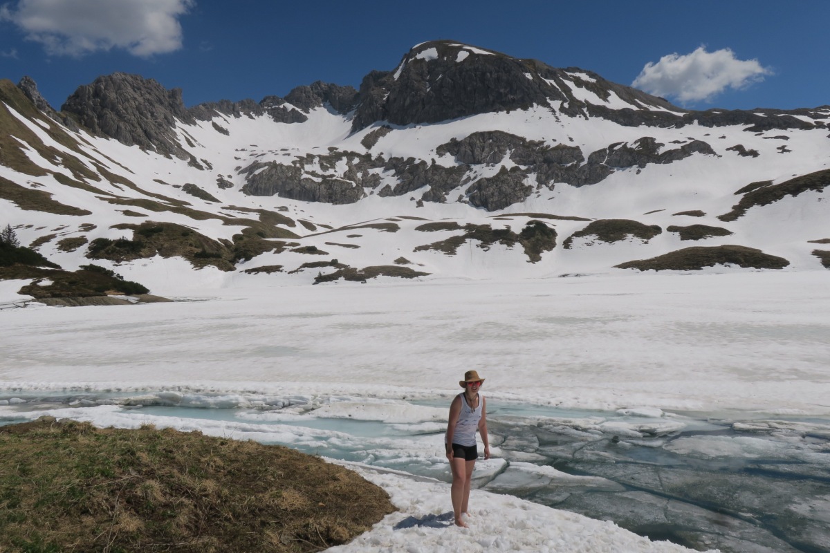
As the forest retreated more I suddenly encountered quite a number of snowy fields. Lovely, muddy slushy snow that’s no great pleasure to walk on because it’s slippery as.
At the very latest I hoped that the two Asian groups would be wise enough to turn around then.

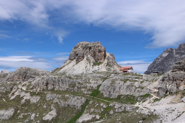
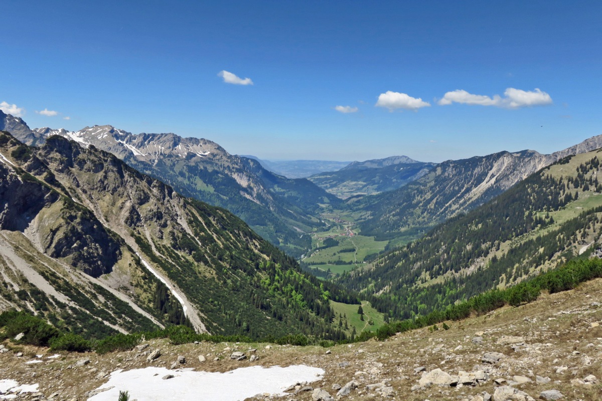
Especially the last stretch up to the top was all covered in snow still. It took me around 2,45 hours to finally get up there. Time for some well-deserved homemade lunch and taking in the absolutely rewarding views. It was well worth the long climb. There’s a hut up here too but it’s only open from Vatertag to Kirchweih – so, basically during the official summer (there is a sign saying so down below).

Next up, was the crossing of a ridge to get from Heimgarten to Herzogstand.

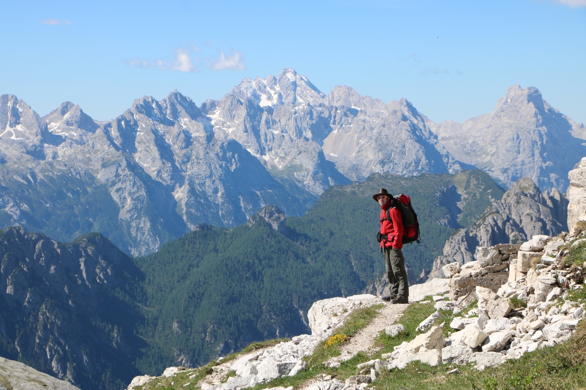
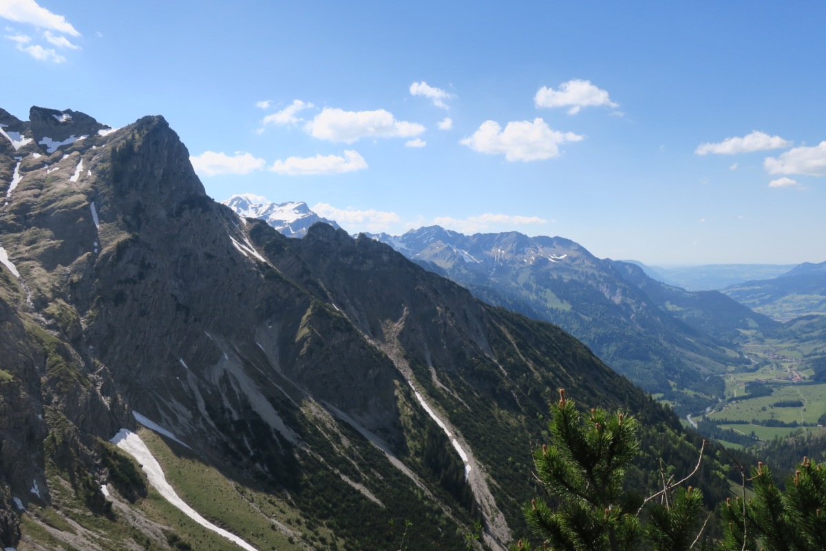
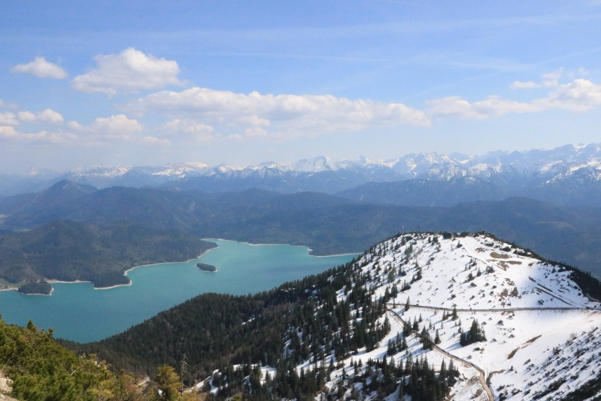
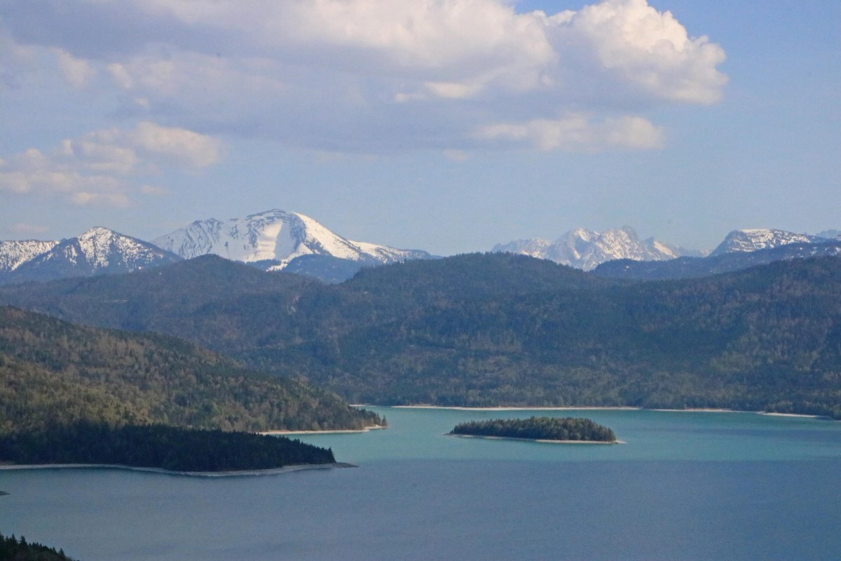
Before descending down more snowy patches (praise to my trekking poles) the 360° panorama is simply breathtaking. Towering mountains to the south, the lowlands to the north. I could see all the way back to Lake Starnberg. Amazing.

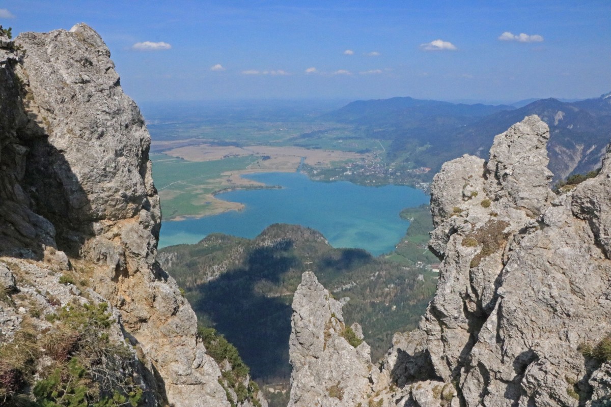
A sign told me that the crossing of the ridge should take about 2 hours. I’m just a little bit pleased that I managed to do it in about 1,5 hours. This route is labelled as black (meaning ‘hard’) but it’s more to scare people off… it’s only a little narrow in a few places. At one point, there is a jaw-dropping view of Lake Kochel below (northern side of the ridge).

IMG_4341
Lake Kochel below

The crossing finishes at a pavillion on top of Herzogstand. While I had enough water with me I was looking forward to a nice refreshing drink at the hut below so I made my way down. Again it was snowy, if only a little – and many, many people slid around in their shiny sneakers. Some were wearing hotpants and party dresses… and yes, some of them realised that they probably should not be going up there and thankfully turned around.


The hut was absolutely packed. But then, lucky me, there’s always room for one person. I squeezed in and ordered two drinks. Unlucky me, because I had to wait for the drinks for almost half an hour. I was about to stand up and go, not just because I was annoyed but actually because I still had to get down the mountain to catch the last bus back to civilisation.

I got the drinks after all and one of the guys started to ask questions on what else there is to do “here”. We talked a little and I found out that he was from the north and he said that he and his two pals actually wanted to do the same loop I just did. They were wearing office-like shirts, jeans and sneakers…and I said to him: “Nope. Forget about that. It’s not going to be fun with what you are wearing”. That may be blunt and honest, but I’ve seen enough people on my way that struggled alot in their pretty unworkable sneakers. Besides it was nearing 4 PM. They wouldn’t get down before sunset.

And again, he asked what else there is to do here. I had to hold my tongue, otherwise I would have said something inappropriate. “Enjoy the scenery and the views”, was all I managed.
Because funilly enough, hundreds of people come to this area for it’s magnificent views but the little village down at the lake is wistfully ignoring the throng of tourists. The bus service is very irregular and operated only by the national rail service. You cannot rent kajaks or bikes. Most dining places shut at 6 PM. It is quite amazing, really. And wonderful, actually… how this little community just stays as it is and doesn’t make the infrastructure any more tourist-friendly. So when you come to this area (especially without a car) you must be prepared and know the bus schedule. Or hitch.

IMG_4352
View on the way down

It was already past 4PM and I made to hurry down in order to catch that last bus. I then realised that the one bus I was looking at taking wasn’t running yet – summer schedule only starting on May 1. Oh oh.

Rather than taking the route throught he forest, I opted for the straightforward forestry path. I ignored my heel blister and started walking downhill as fast as I dared. On the way down a few mountain bikes shot past me in horrifying speed. I hit the road in Urfeld at around 5PM and saw where all the people were already waiting for the bus to Kochel. Phew, I thought.

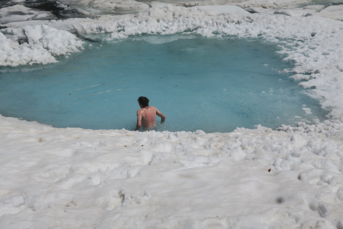
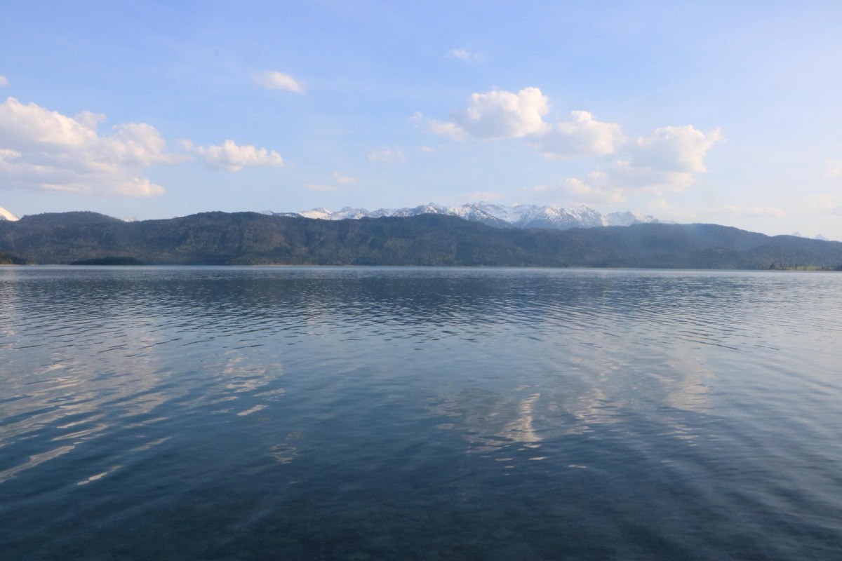
I tried to board and asked the driver whether this bus was the last service to Kochel, because the schedule was so confusing. I couldn’t quite hear what it was he mumbled, but instead he suggested to go the other way towards Mittenwald and Garmisch. That would give me another hour at the pretty lake so I left the bus and made for the shore to have a rest and dip my feet into the icy water – Walchensee is a glacial lake after all. Very relaxing moments after an exhilerating day and 18KM of walking and a total altitude gain of 1,200 metres.

IMG_4363
The view at the end of the day

I made my way to the bus stop and sat down. Soon after, a couple walked towards me trying to decipher the bus schedule. I told them that one more bus was coming… They said they had their car parked near the cable car base station and that they took another route down.
Then he called someone on his phone. I couldn’t quite not listen to what he was saying but I sensed something was not ok. He hung up and then explained that they were a group of five but that they split up at the top taking different routes down. The missing friends were now apperantly lost in the forest and were going back up to find another way down – with a 7-yearold child. My insides started to cringe at that but I refrained from saying anything.

The time was now 6.30 PM and I told the man next to me to call 112 if their friends are not down before 8 PM. For the simple reason that you cannot count on having reception or enough battery. And Google Maps is NOT a reliable source for navigating in the mountains. There are better apps for that.

I do not know how the story ended for them but I hope it ended ok.

My story ended all fine, I met some nice people on the way to Mittenwald and then caught a train there back to Munich.

All in all, a grand day out.

Here are some basics:

++ Be prepared to have intermittent reception. It is advisable to not take it for granted. It depends very much on your service provider.

++ Take note of the route you want to do so you don’t lose it! Signposting is sketchy at times.

++ Use the app outdooractive. Find the route you want to do and save the map offline. It’s free and super useful.

++ Bring enough water if you start at Heimgarten. Until you reach Herzogstand there are no opportunites to refill other than melting snow.

++ Invest some money in proper boots. They make life (and hiking) especially for your feet so much more comfortable.

++ Going up a mountain either by foot or cable car is not a bloody beauty or fashion competition…

++ Take out your rubbish. For those who are unaware, there is no mountain litter service.

Here be dragons!

One does wonder where places do get their names from. Drachensee – Dragon Lake is one of those. There is surprisingly little information to be found on this, but after having been there this past weekend I have a feeling the name was sparked by mere imagination…Crystal clear, cold and calm…with uncountable different shades of blue, green and grey and surrounded by an amphit-theatre of impressive mountains it does seem like the perfect place for a dragon to dwell. I just saw one website calling this place the “Loch Ness of Tirol” – rather apt, especially when the sun is hiding behind clouds.

IMG_3561_resized
Drachensee

The climb is absolutely worth it. We started our little adventure at the Ehrwalder Almbahn, purposely taking option “Hoher Gang” up to Seebensee rather than going the long way around via Ehrwalder Alm. It is a decent climb… for the first wee while the track zigzags through forest until it becomes steeper. So steep at some point the route is secured with steel ropes that one can hold onto. Not always helpful but sometimes…

IMG_3546_resized
Seebensee

It is worth it though, because the first glimpses of Seebensee are very rewarding. Glowing somehow translucently green in the late morning sun, it forms an amazing vista with the towering peaks of Sonnenspitze, Drachenkopf and the Tajaköpfe – and the Zugspitze on the other side of the valley.

IMG_3552_resized
View from up higher towards Seebensee and Zugspitze

We dwelled here for some time, simply enjoying the views and the sun (the weather turned out to be much nicer than forecast). Then, we made the final ascent on to Coburger Hütte and Drachensee. On a stunning day like this it was relatively busy, but we did get our well-deserved beer, skiwasser and Kaiserschmarrn pretty fast. Munching delicious food with a picture-perfect view – what else can you ask for on a Sunday?
Why the hut belongs to “Sektion Coburg” of the German Alpine Club albeit being on Austrian territory remains a mystery to me.
Well nourished we then wandered down to the lake.

I could have stared into the depths of the lake for ages, watching the colours constantly change depending on the light. It went from sparkling green and turquoise to a dark bottomless blue. Despite people being around, it seemed very peaceful and almost otherworldy.

20170813_135031_resized
Mirror, mirror on the wall…

If there were dragons, this is where they would be.

It took some effort to leave this beautiful place to make our way back down to Ehrwald. Thinking it wouldn’t be nice to climb down “Hoher Gang” we opted for the long way around to Ehrwalder Alm via Seebensee Alm. We did cheat a little bit at the end by taking the cable car back down from Ehrwalder Alm. Oh, well.

IMG_3579_resized
Appreciating the surroundings

Useful information:

Parking at Ehrwalder Alm: Free

Train: About 2h 30. You can use the “Bayern-Ticket” to get there.
Toll in Austria: None
Single Ride Ehrwalder Almbahn: 12 €

Stay at Coburger Hütte: Unknown. Open until Oct 11. Book well in advance.

Driving time to/from Munich: About 1h 30 min – 2h (always traffic jam from GaPa to Oberau)

Tre Cime di Lavaredo

The three infamous peaks in the Dolomites were taunting us for quite some time. Towering there on what looks like a sandy plateau, it has a somewhat alien feel to it that’s totally mesmerising. It’s not surprising that the area is now a world heritage site and lots of people flock there.

Tre Cima | Drei Zinnen
Tre Cime | Drei Zinnen

We decided to do a little loop around the area, approaching the peaks from the east. After the long drive from Munich to Sexten | Sesto in Südtirol, Italy, we started the trek up to Zsygmondi Hütte from Val Fiscalina (Fischleintal). It took about 2,5 hours zigzagging on a super well-maintained track.

Route
The Route – about 27 KM

The hut is named after an Austrian mountaineer and is situated in a stunning spot. The Zwölferkofel is dominating the scene, funny looking mini-peaks stick out on both sides. It is a magnificent mountain.


IMG_1771
Zwölferkofel Panorama

Hut life in the European Alps is totally different compared to New Zealand. Here, “serviced” means that you get full-blown service, actually like at a hostel somewhere downtown. Wine, beer, hot food, small (or also bigger) rooms and… house shoes.
When we first got to the hut, Glen asked: “Whereabouts is the outhouse (toilet) here?” – And I was like… “Ah, dear, I think you get proper flush toilets here – in the main building”.

“Oh”….

Yup, it’s different.
The owners look after the place with great care and love. I for one had an absolutely fantastic sleep. High up there, with no noise but pleasant babbling noises from our fellow hikers and – thank goodness – NO reception, it was so peaceful and totally relaxing.

IMG_1820
Stunning spot near Büllelejoch

The next morning came around quickly. We left early and had our breakfast somewhere further up the hill on the way to Büllelejoch Hut. Said hut we reached at about 9 AM, and this one was much more cozy and smaller than Zsygmondi. Only room for 13 people… and it did sport a proper outhouse! As well as flush toilets, however hikers are encouraged to utilise the outhouse in order to save water.

This small hut is perched right between a saddle, so for them it’s sometimes hard to get supplies up there. Often, supplies need to be helicoptered in or…a noisy, wee little tractor climbs up the track from the other side of the valley. In adverse conditions, it may still happen that the people carry up whatever is necessary.

IMG_1828
Enjoying the views…


What is in fact very interesting, is that the path from Zsygmondi to Büllelejoch follows an old path that was constructed during the first World War around 1915. Dotted around the area are many old bunkers and caves. It’s so hard to imagine now that a bitter fight between Austria and Italy raged up in this (at the time) hostile and remote area for two winters.

We stopped at Bülleljoch Hütte for a little to admire the beautiful scenery and to have a refreshing drink. The thing to have here is called “Skiwasser” or “Gletscherwasser”, which is sparkling water with a bit of rasperry syrup.

Then we planned to continue to Drei-Zinnen-Hütte… on the direct route. Only realising almost too late that we would have had to climb up and down Paternkofel (about 2.700 m) without any climbing gear…”definitely not recommended”, as someone advised when I asked for directions. It meant we had to backtrack a little, though… on the way we then inspected a scree slope for its suitability as a shortcut since we could see the correct path leading around Paternkofel below. Whatevs, we did it and scrambled down, alas the scree wasn’t good enough to run on.

IMG_1870
Snugly situated hut…


Around and up we went until we reached a turning point when we finally spotted the Tre Cima in all their glory. And so did many others in very gusty wind – something like the Italian version of a classic Nor’wester. We call this Föhn. At times, the wind was bitingly cold and so we didn’t linger very long on the plateau that presented us with this alien panorama.

IMG_1885
Bödenseen

We pushed on to the hut to have a prolonged break in the sun and, of course, to admire the grand scenery. So weird and strange, yet so beautiful are those three peaks.
If it wouldn’t have been so windy we would have gone for a swim in the nearby pools…And so, sadly, we made our decent back to the valley finishing the hike with delicious puff pastry and classic apple strudle.

IMG_1883
The Peaks


That evening, we found a lovely campsite at Lake Dobaccio | Lake Toblach where we spent the night before the long drive back to Munich on Sunday morning.

Useful Information:

Parking at Fischleintal: 5€ per day (charged after more than 5 hours)
Stay at Zsygmondi Hut: 22 € (Alpine Club members) – 30 € (ordinary price)

Toll in Italy: 9 € (Motorway “Brenero”)
Toll in Austria: 8,50 € (vignette) | 11 € (Felbertauerntunnel)

Driving time from/to Munich: ~ 4h 30 mins

An awfully nice lake…

I saw this picture of the lake below somewhere on Instagram:

schrecksee-20160828-

Nice aye?? The lake is called Schrecksee…which literally means something like ‘awful’. Can’t be the location, me thinks.

When splendid weather is forecast, the lure of the mountains becomes irrestible and so we decided to attempt this day hike last Saturday. After a 2 hour drive from Munich we arrived at the tiny mountain village that is Hinterstein. It was going to be a superb day. Backpacks, food supplies and plenty of water at the ready we headed off towards the hills. Roughly 1,200 m of altitude lay ahead of us in the burning sun, after all.

20170527110452.jpg
The lovely forest and I

The track starts by crossing farmland. Lush, green meadows, a few cows here and there … surrounded by mountains. Probably about half an hour later we reach a hydro power station which is fuelled by the exact lake we wanted to get to. The tiny station produces enough energy to power about 1,300 homes in the area.

20170527123359
Looking back down the way we came

Many mountain bikers zoomed past us to the closest mountain house while we nearly overlooked a sign that said “Schrecksee”. For us that was the turn off. From then onwards was up and up and up, up, up. First through very steep forest, then across alpine pastures where the track thankfully flattens a little before the last steep stretch up to the lake with a couple of ‘false peaks’.

20170527132710
The frozen lake and surrounding peaks

For the last 30 minutes we actually plodded through snow! And something dawned on me…The lake might still be covered in ice and snow! What about our planned refreshment/cooling off! Oh no…We got there after nearly 3 hours of uphill hiking to find the lake sort of partly frozen. There were some pools suitable for a brief dip, luckily.

20170527133301
Standing bare-footed in the snow

Many others loudly bragged about going in and then chickened. I was about to as well, but eventually I did it! Brrrr, it was freezing cold. No one lasted longer then a few seconds, it was icy. Awfully icy… It must have been more the temperature of the water that has ultimately given the lake its name.

20170527132513
Ooops, he did it again!

Well rested and fed we prepared for the long way down. Near the end, it was becoming a tiny bit atrocious for my poor knees…How I love those rocky and steep forests. We have a thing, the lovely forests and I. Be it here in Germany or back in New Zealand. But it was well worth it, always is.

20170527144911

I know that I want to come and do another trek in the area when all the snow is gone and actually see the whole lake in all its splendour. And perhaps even bivvy up there since camping with a tent is unfortunately not allowed.

It’s a super nice area that is not so overrun compared to other outdoorsy regions in Bavaria, there is no serviced hut anywhere, it simply felt more like proper hiking.